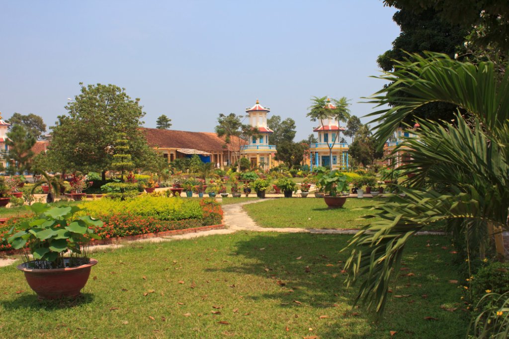
Up Ron & Marjolijn's holiday pictures » 2011-03 Vietnam » 01-Saigon Prev Next Slideshow

 Previous image  Next image  Index page  Original Image [33-The Cao Dai Church.jpg - 1.2MB]
21-Chua Dai Giac
22-Gymnastics at sunset
23-Old Mig's
24-Captured US helicopter
25-US bombs, in the war used to make boobytraps
26-One of the many tunnels
27-A hiding place
28-A deadly trap
29-Marjolijn is visiting a bunker
30-Another deadly trap
31-Cao Dai
32-The Cao Dai Church
  33-The Cao Dai Church.jpg - The Cao Dai Church  
34-The Cao Dai Church
35-Inside the Cao Dai Church
36-Inside the Cao Dai Church
37-Inside the Cao Dai Church
38-Inside the Cao Dai Church
39-Worshiper in the Cao Dai Church
40-Priests in the Cao Dai Church
41-More Cao Dai piests
42-Worshipers in the Cao Dai Church
43-The band in the Cao Dai Church
44-Worshipers in the Cao Dai Church
45-Worshipers in the Cao Dai Church

The Cao Dai Church Download Original Image
Latitude: N 11°18'10,72" | Longitude: E 106°7'59,49" | Altitude: 22 metres | Location: Cao Dai | City: Tay Ninh | State/Province: Tay Ninh | Country: Vietnam | Copyright: Ron Harkink | See map
Total images: 46 | Help